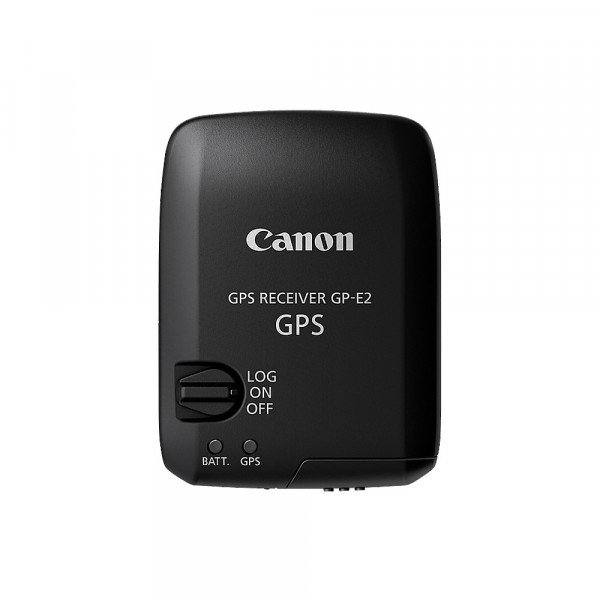
Canon GP-E2 GPS Receiver


CHF236.00
*
Prices incl. VAT plus shipping costs
Delivery time Anfrage Workdays
Gift wrapping available
The article can be wrapped as gift. You can choose from various wrapping options.


SALE
